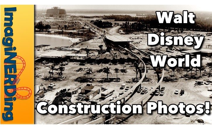
Rare Walt Disney World Construction Photos!
I ran across almost one hundred rare Walt Disney World Construction photos in my files. I’d forgotten that I even had them. Most of these images are from 1967 to 1971 and I’ve rarely seen them used anywhere else. I knew what some of the Walt Disney World Construction photos were, but most of them, I couldn’t identify. Can you help?
Check out the video and let me know!
Rare Walt Disney World Construction Photos Video
Are you able to identify any of the images? Leave a comment and let me know!
Don’t forget to head over and subscribe to my Youtube channel for more videos about Walt Disney World, roller coasters, Dollywood, Carowinds and so much more! I’ll be uploading videos on the construction of the Contemporary Resort, the Polynesian Village Resort and the Magic Kingdom!


Hey George, loved the old pictures. Check your e-mail I made a document with additional information about some of the pictures. Oh and most of those earthmoving and truck vehicles are just getting rid of “muck” before building.
Keep up the great blog and videos
At 2:03 those aluminum pieces are counter balances for the channel gates.
https://www.google.com/maps/@28.4132966,-81.5576295,48m/data=!3m1!1e3
At 4:08 the flood control gate is east of Fort Wilderness
https://www.google.com/maps/@28.4132966,-81.5576295,48m/data=!3m1!1e3
Loving the old time construction pictures!
Here are some guesses as to locations
At 0:59 Bonnet Creek excavation south of US 192 which is the road crossing in picture. Celebration is now to the left (west) of creek.
At 1:35, 1:45, 1:56, & 2:11. These are water control structures that are located on the berm that surrounds the north and west sides of the property. It’s possible they are pictures of the same structure. Hard to tell which it is, but the following locations have structures like this:
28°25’38″N 81°36’19″W
28°24’18″N 81°36’40″W
28°23’35″N 81°36’39″W
28°21’59″N 81°35’54″W
At 3:18 This is not the TTC, it is the Car Care Center
At 3:27 Golf course sculpting on the west side of the property. 28°24’04″N 81°36’24″W
At 4:24 Bonnet Creek crossing I-4. This is where W. Osceola Pkwy currently crosses the creek and I-4
At 4:41 I-4 looking north towards intersection with US-192
At 5:54 Water control structure on Bonnet Creek just south of Disney Vacation Club Way intersection with Bonnet Creek Pkwy and EPCOT Center Drive. 28°22’33″N 81°32’17″W The creek branch to the upper right is no longer existent, it was filled in when Port Orleans Resort was built and the Sassagoula River was connected to the LBV waterways. Right of way is still visible in aerial photos.
Really enjoy these old construction photos. More please.
Also interested in any monorail and utilidor construction photos. Thanks.