The History of the Magic Kingdom in Maps
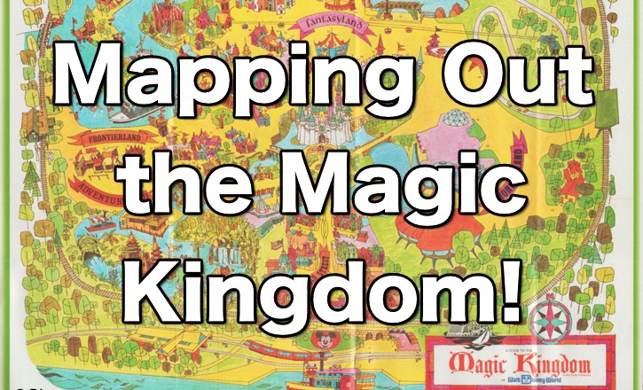
The Magic Kingdom is nearing 50 years old. That’s a lot of history and a lot of developments and transitions. One way changes can be documented is through the different park maps that have been produced over the years. Now that we all use our smart phones to navigate the parks, I do wonder what the future of printed park maps will be. You do see less people using maps in the theme parks, which makes sense. But I still love them as collectible items.
The history of the evolution of the maps of the Magic Kingdom is an interesting tale. We would never really see a fold-out map, but different iterations of maps would be released through GAF, Kodak and Polaroid Guides. There were also maps in guide books and travel magazines. For the most part, I check out official maps produced by Disney. Some are iconic and others are very close in detail and layout. I offer over 20 different maps in the video.
Magic Kingdom Maps Video
Do you have a favorite Magic Kingdom map?
How Disney promoted the Magic Kingdom is a fascinating byproduct of reviewing these different maps. The color choices, layouts, and inclusion (and omission) of details strikes an interesting choice of what is important at the time. Also what Disney did to promote this new theme park venture.
Have You Ever Seen the GAF Photo Spots of the GAF Photo Trail?
Looking for an amazing book about Disney maps?


Boy, would I ever buy a hardcover book of WDW park maps through the years….
I agree!